|
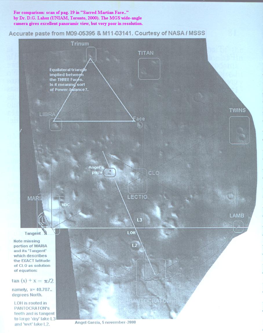
Cydonia is truly the greatest gift from ETI to terrestrials. A titanic MUSEUM specifically designed to be imaged by spacecrafts. It is only 'solar shadows' what depict this quasi-divine Work in a canvas of nearly 9000 (km)^2 (radius=53.2 km = 1/100 of distace from pole to martian equator). Thus it is imperative to image Cydonia at all times of the martian day: shadows change dramatically and information is precious at sunset, at noon and at sunrise as well. Can the current 'Odyssey' (feb-2002) do better job than the 1976-Viking ?. 
There are some basic facts which prove existence of ETI in the Cartography of the MUSEUM:
1) The two clear and sharp marks at TITAN and PANTOCRATON which define the central meridian. Such ETI meridian is indeed perpendicular to presented 'parallel' at the joint of both wide-angle frames of NASA / MSSS . Such mapped 'parallel' passes through sharp marks at MARIA and LAMB.
2) The mathematical, trivial and very clear, encoding of the 'latitude' delta=40.707 deg. for the MUSEUM-centre at CLO. This number agrees within minute error bars with the NASA / MSSS measured latitude for such point-mark. Its 'longitude' (apparently not encodded in the MUSEUM) is given by NASA / MSSS as very close to 9.5 deg. West.
3) Radius of MUSEUM (=53.2 km in good measurements) is extremely close to 1/100 of distance from pole to martian equator on surface of Maclaurin martian ellipsoid.
4) Alignments in MARIA are further evidence of planned ETI Cartography. |


